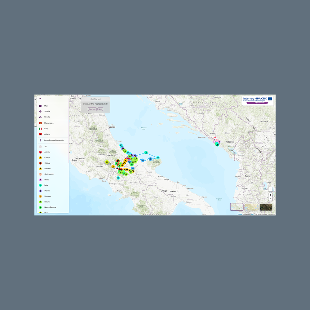
Geographic Information System
The REGLPORTS GIS is a full-fledged system consisting of a geo-database, a REST API, and a web application. The system is populated by a carefully curated list of points of interest (POIs), thematic routes, and informative material. Both the content and its organization are designed to provide an intuitive user experience for those that want to explore the intervention areas.